As a full-service aerial photography company, Drone Brothers captures stunning visuals using state-of-the-art drones and camera equipment.
Education
Education Series: How Construction Sites Benefit from 20×30 High-Resolution Printed Maps
Drone Brothers bridges the gap between high-tech and low-tech with large 20×30-inch printed maps for easier visualization and collaboration on construction sites.
Education Series: Revolutionizing Construction Site Monitoring Through The Power of Drone-Captured Maps
Drone maps give construction firms a competitive aerial view for progress, safety, and communication.
Education Series: The Impact of Aerial Mapping on Job Site Management
Aerial mapping transforms job site management: Drone maps save time and money and enhance safety in construction.
Education Series: Exploring the Benefits of Drone Technology in Façade Inspections
Drone Brothers’ drones transform façade inspections. Enhance safety, streamline process, 3D models. Innovation for success.
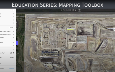
Education Series: Key Measurement and Calculation Tools in Mapping Software
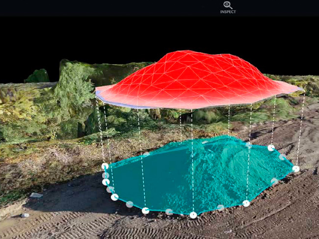
Unlock efficiency with mapping software’s vital measurement & calculation tools – locate, measure, calculate & track sites precisely.
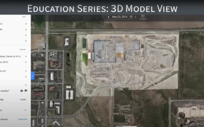
Education Series: Exploring the Benefits of 3D Construction Site Visualization: A New Perspective
Delve into the world of 3D construction site mapping – explore immersive realism, enhanced collaboration, unlocked efficiency and significant cost savings.
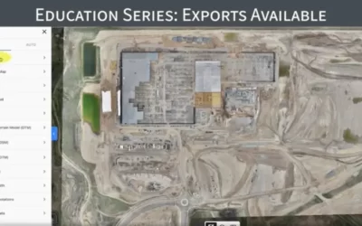
Education Series: Unlocking the Power of Drone Mapping: A Guide to Exporting Data
Drone mapping exports enable seamless data sharing – from PDFs to 3D models. Integrate precise geospatial info into construction software for better design.
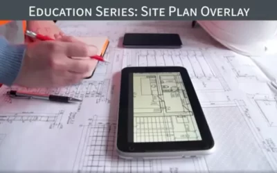
Education Series: Optimizing Construction Progress by Leveraging Drone Mapping and Site Plan Overlays
Overlay maps from drone imagery revolutionize construction site planning and monitoring by comparing progress to plans for early issue detection.
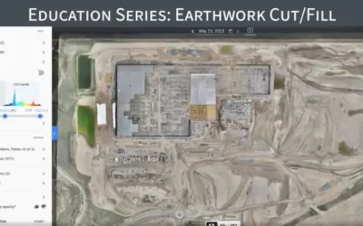
Education Series: How Drone Mapping Software is Revolutionizing Earthwork Site Balancing
Drone mapping software is revolutionizing construction, enabling accurate earthworks measurements, detailed reporting, streamlined processes, and informed decision making for improved efficiency, cost and risk reduction.
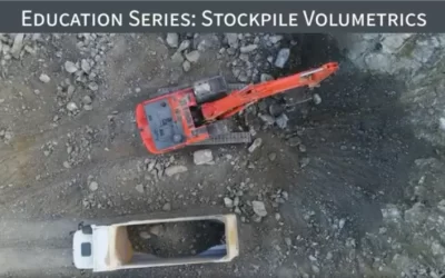
Education Series: How Drone Mapping Analytics is Transforming the Construction Industry
Drone mapping software automates stockpile measurement, calculating precise cut and fill volumes to save construction companies thousands in expenses and hours over manual surveying.
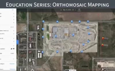
Education Series: How Orthomosaic Mapping from Drone Brothers is Revolutionizing Construction
Orthomosaic mapping uses aerial drone footage and satellite imagery to give construction project managers a top-down view.
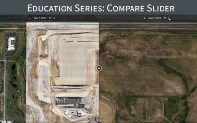
Education Series: Revolutionizing job site progress tracking with new drone mapping software
Imagine being able to effortlessly compare the progress made on a construction site over a month, a week, or even a day.

