
In the world of construction and infrastructure development, accurate forecasting is essential. Estimators play a critical role in ensuring that projects stay on budget, timelines remain realistic, and resources are used efficiently. One of the key challenges estimators face is gaining a clear and comprehensive view of the job site to assess staging areas, inventory, and heavy equipment usage. That’s where aerial drone data comes in.
A New Perspective on the Job Site
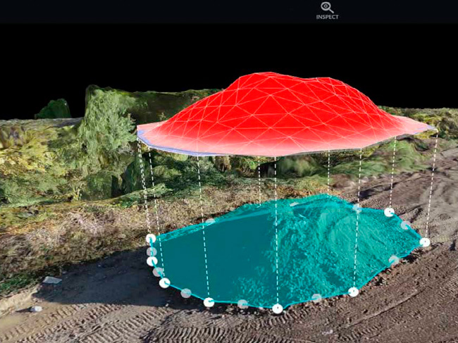
Traditional methods of site assessment often rely on ground-level walkthroughs, outdated satellite imagery, or incomplete maps. These approaches can miss critical details and limit the ability to make precise decisions. Drone Brothers provides high-resolution aerial imagery and 3D mapping that give estimators a current, bird’s-eye view of the site. With this data, estimators can:
- Assess available space for material staging with greater accuracy
- Identify bottlenecks and optimize equipment placement
- Monitor how resources are used and make real-time adjustments
Improved Accuracy in Forecasting
By using drone data, estimators can move from assumptions to evidence-based planning. Instead of guessing how much space will be needed for materials or where equipment will fit best, they can use actual site measurements and visualizations. This improves forecasting for future phases of work, leading to:
- More reliable schedules
- Reduced material waste
- Lower costs from idle equipment or misallocated resources
Smarter Resource Planning
Drones help estimators track how resources are deployed over time. Whether it’s the movement of earth, the arrival of shipments, or the placement of cranes and loaders, drones provide time-stamped visuals that allow for smarter planning. Estimators can compare historical site data with current conditions to spot trends, flag inefficiencies, and adjust future plans before issues arise.
A Competitive Edge in Bidding
When estimators are backed by precise drone data, they can create stronger, more confident bids. Drone imagery adds transparency to proposals and builds trust with stakeholders. It demonstrates a command of the site conditions and a clear plan for managing logistics, staging, and heavy equipment needs. By integrating aerial intelligence into the estimating process, we’re helping construction professionals take control of their resources and build smarter from the ground up.

0 Comments