If you haven’t considered the relevance of legal documentation of site condition and development progress, this might be beneficial to know. Drones can play a significant role and make your job easier by mitigating and even eliminating any future legal issues through the following avenues:
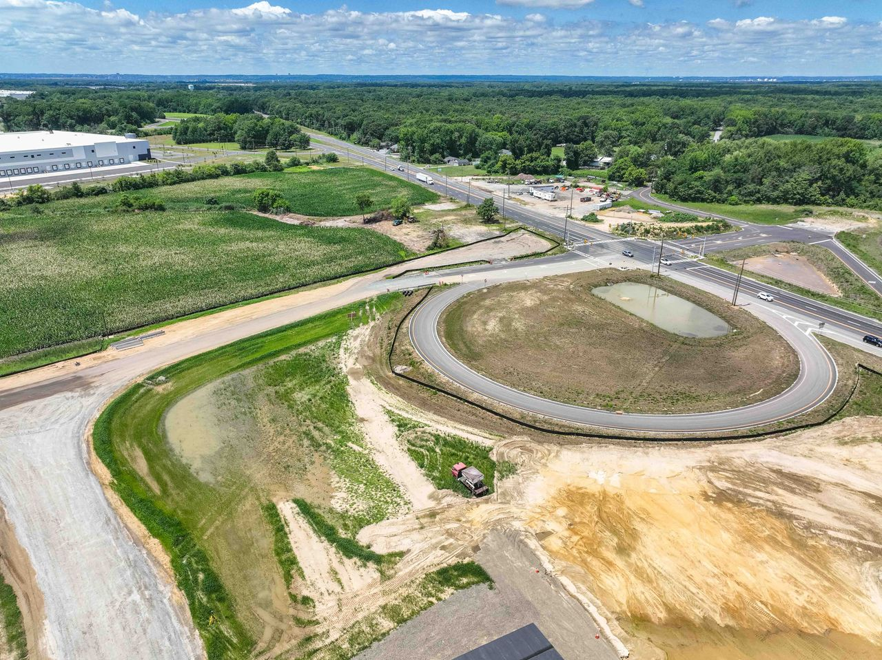
Site inspection: Drones can be used to perform aerial inspections, providing high-resolution imagery and videos. This can help to document the conditions site at various stages of construction, including prior to beginning a project, providing important evidence for legal purposes.
Progress tracking: Drones can also be used to track the progress of projects over time. By capturing regular aerial images and video of the site, construction teams can document the progress of the project and ensure that it is on track according to the original timeline and budget.
Dispute resolution: In the event of a legal dispute, imagery and video can be used as evidence in court. For example, if there is a disagreement about the condition of the site or the progress of the project, drone footage can provide a clear and objective record of the situation, eliminating any potential ambiguity and questions raised. Just imagine all the potential hundreds of thousands. or even millions of dollars you will save in legal costs, not to mention precious time and resources, should they ever become an issue.
Compliance monitoring: Drones can also be used to monitor compliance with regulations such as environmental and state/county, and safety standards. For example, they can be used to detect potential hazards or safety violations, providing important documentation for legal purposes. In addition to helping you avoid financial downsides of arbitration, drones can help you maintain your good reputation by ensuring that you also sidestep unfortunate accidents causing bodily injury or worse.
Advantages of drones over surveyors with regard to legal dispute mitigation
Faster data collection: Unlike surveyors who are at the mercy of terrain issues like muddy or uneven surfaces, weather, possible scheduling conflicts, time constraints and other factors that affect humans, drones can capture data over large areas of the construction site in a relatively short amount of time, providing a quick and efficient way to collect data. This cannot only save time and reduce costs, but can possibly help avoid liability issues the minute any problems are detected, rather than down the road where it might be very costly to address in a lawsuit.
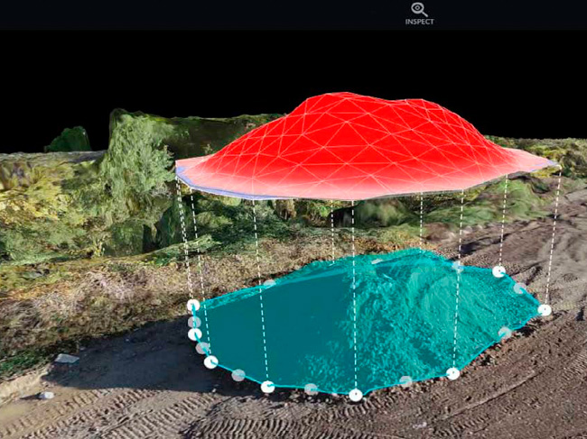
Increased accuracy: Surveyors are only human and are prone to mistakes and oversights, while drones can capture highly accurate data, providing precise measurements and detailed images. This can be especially useful for legal documentation purposes, as it can help to ensure that the documentation is accurate and reliable.
Safer data collection: Drones can capture data from hazardous or hard-to-reach areas of the construction site without putting surveyors at risk. This can help to ensure that the data is collected safely and without the risk of injury to workers, taking any potential liability off of you. And if, in the unfortunate event an accident does occur, drones can help legal teams analyze and reconstruct scenes. Avoiding any and all potential liability is a huge plus, which is why we can appreciate your attention to it as priority one.
More frequent data collection: Drones can be used to collect data on a regular basis, providing up-to-date information on the construction site. This can be useful for legal documentation purposes, as it can help to ensure that the documentation is current and reflects the latest information about the construction site.
Overall, drones can help ensure transparency, accuracy, and compliance with regulations with respect to construction projects. By providing high-quality imagery and videos, they can play an important role in avoiding and resolving legal disputes and ensuring that projects are completed on time, on budget, and to the required standards. This is a win-win for all, and especially peace of mind in the one aspect of construction that allows you the most amount of control.